Updated Mapping of Maryland’s Habitat Connectivity Network

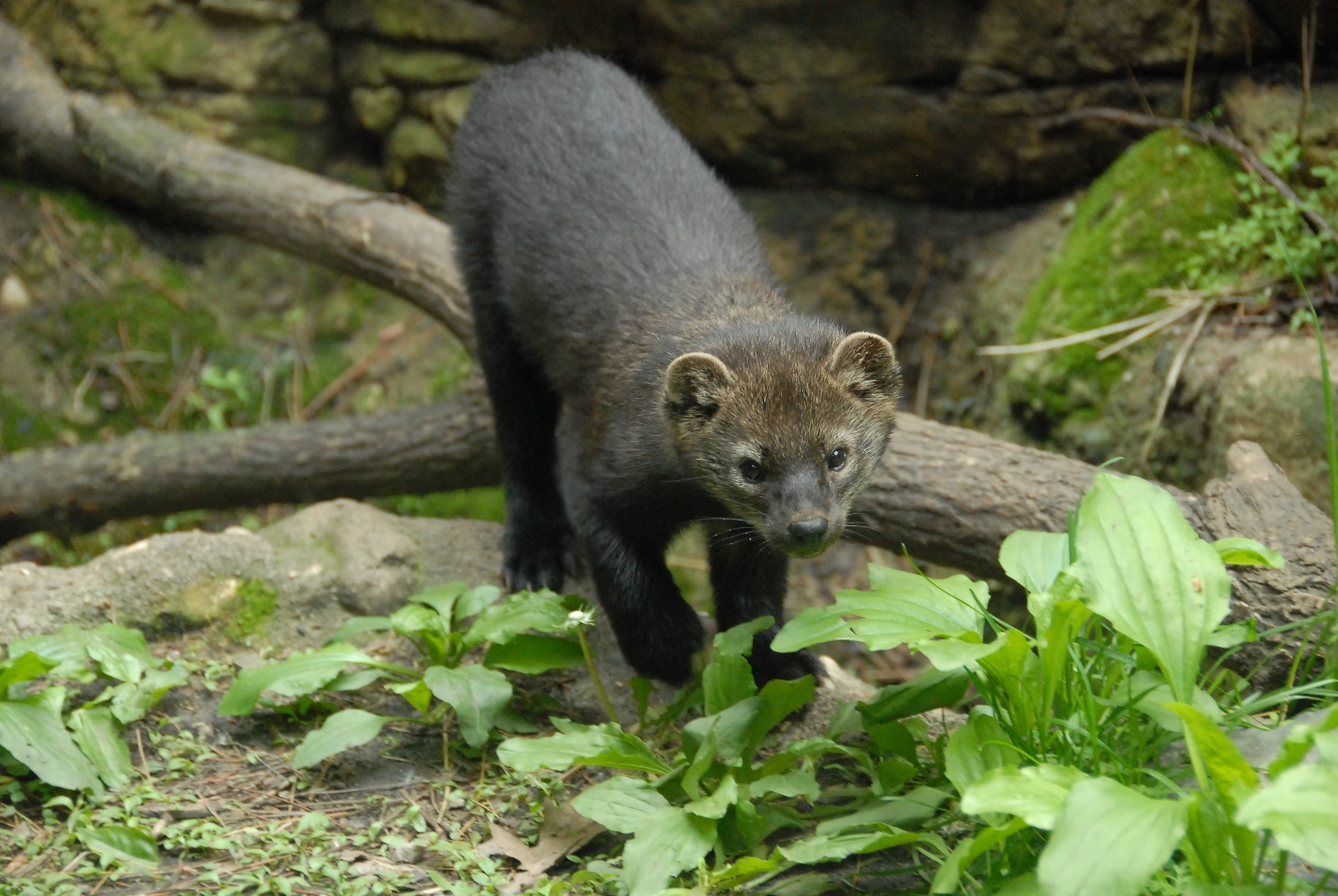
Fisher
Photo by Josh More
Chesapeake Conservancy’s Conservation Innovation Center (CIC) partnered with the Maryland Department of Natural Resources (DNR) to update the state’s habitat connectivity map, previously known as “Green Infrastructure.” This updated map tracks changes in the network of “hubs” (large, intact natural areas) and “corridors” (pathways that connect the hubs), essential for wildlife health. These areas support species that need large habitats and corridors for food and mating while also providing critical ecosystem services like clean water, air, carbon sequestration and climate resilience. This tool aids Maryland DNR and other conservation partners in targeting priority areas for protection and restoration.
