
Updated High-Resolution Land Use/Land Cover Data and Change Data
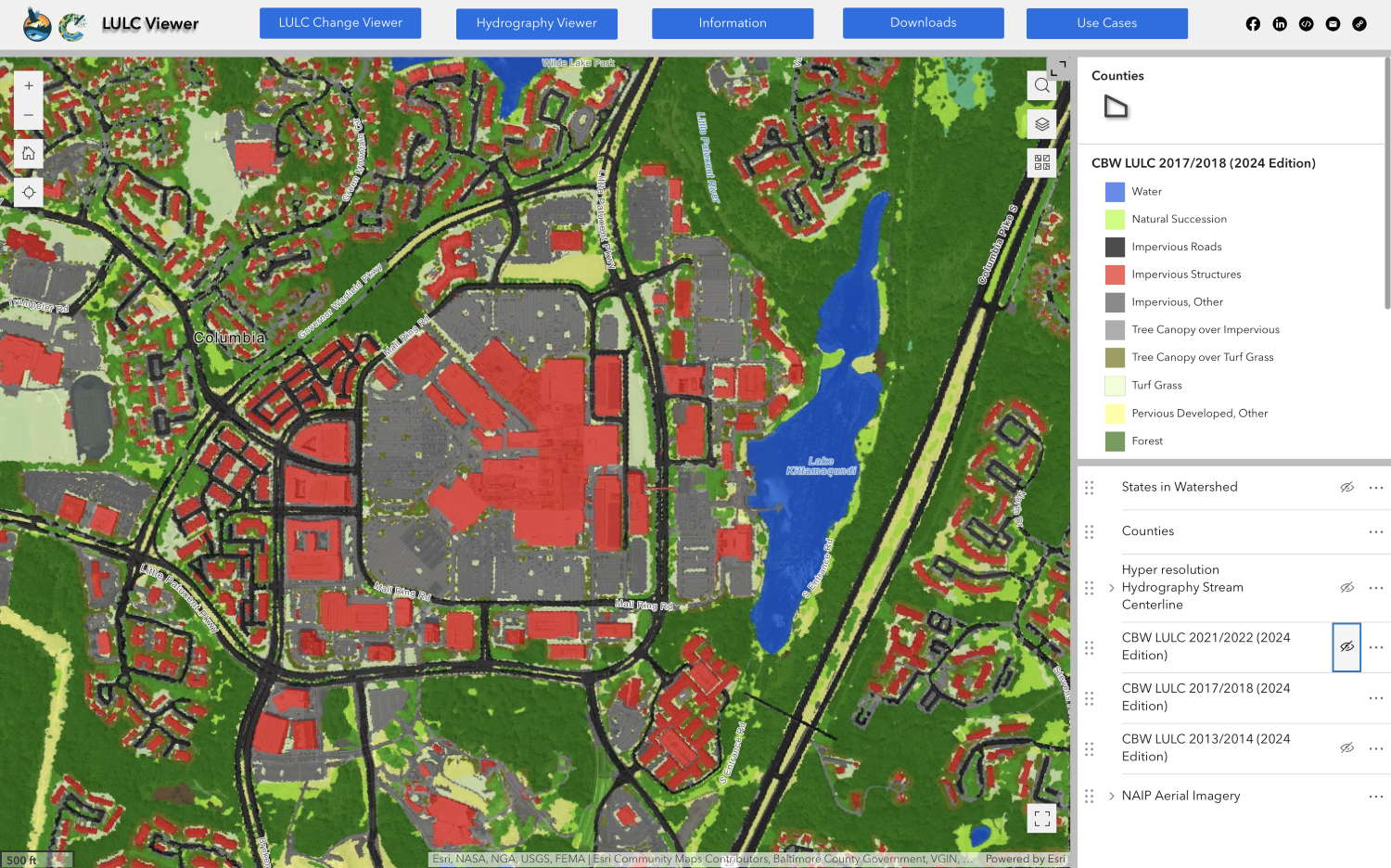
In June, the Chesapeake Bay Program announced an update to its high-resolution land use/land cover data and change data produced by the Chesapeake Conservancy, U.S. Geological Survey, University of Vermont Spatial Analysis Lab and U.S. Environmental Protection Agency.
The updated high-resolution land use/land cover data and change data, now available for 2013/2014, 2017/2018 and 2021/2022, provide a detailed understanding of how the land of the Bay watershed is being managed and how it’s changed over time, which is critical for Bay restoration.
Visit our website to learn more.