
Partnered to Release the Most Detailed Inventory of the Chesapeake Bay Watershed’s Stream and Ditch Network to Date
Hyper-Resolution Hydrography
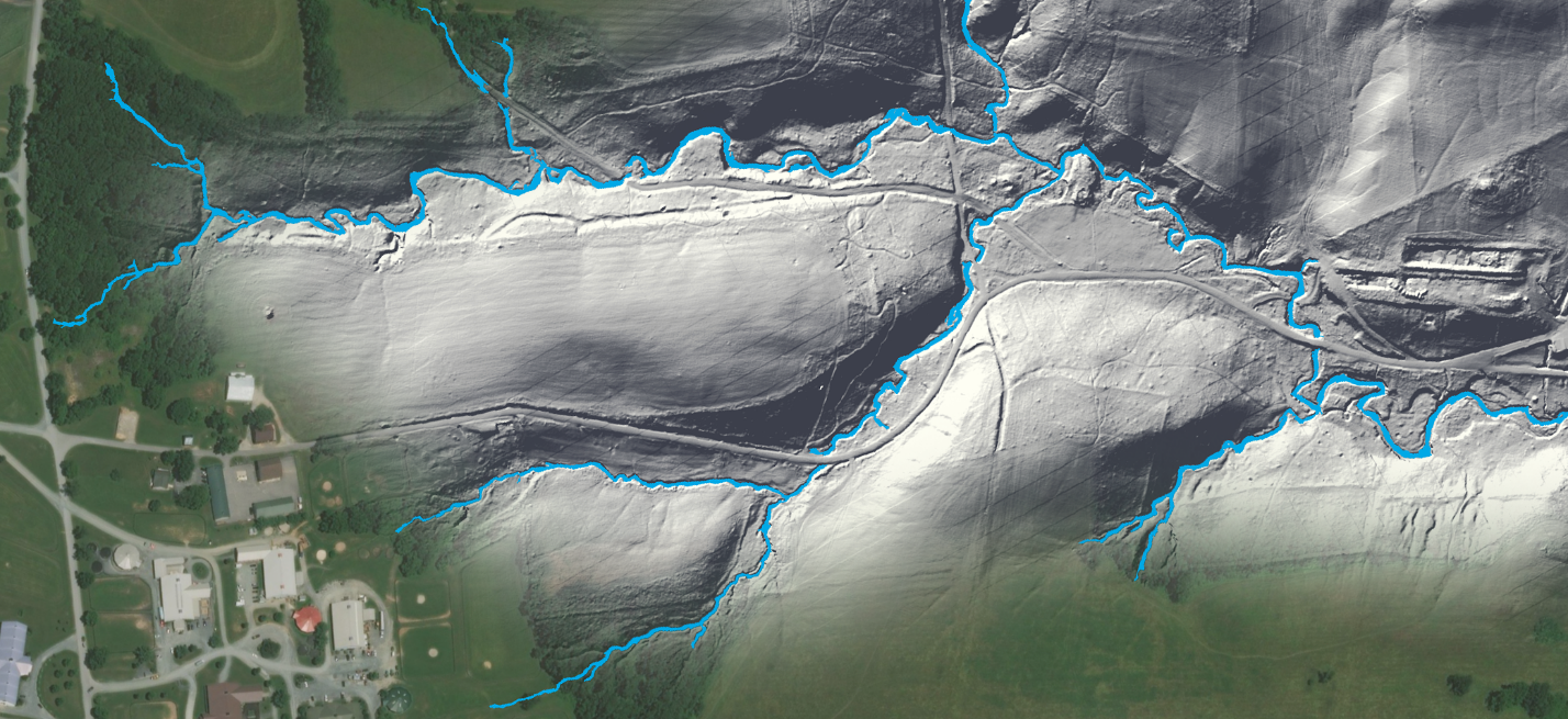
In June, the Chesapeake Bay Program released the most detailed inventory of the Chesapeake Bay watershed’s stream and ditch network to date. Since 2018, our Conservation Innovation Center has partnered with University of Maryland, Baltimore County (UMBC), U.S. Geological Survey (USGS), U.S. Environmental Protection Agency and Chesapeake Bay Program (CBP) to create hyper-resolution hydrography for the Chesapeake Bay watershed.
This cutting-edge hyper-resolution hydrography dataset maps more than twice the number of channel miles previously identified, increasing the total from approximately 150,000 to nearly 350,000 miles. This collaboration redefines the Chesapeake Bay's vital waterways and sets the stage for potential groundbreaking restoration strategies.
For more information, visit our website.