
New Land Use/Land Cover and Change Data Provide Powerful Insights into How the Watershed Is Transforming
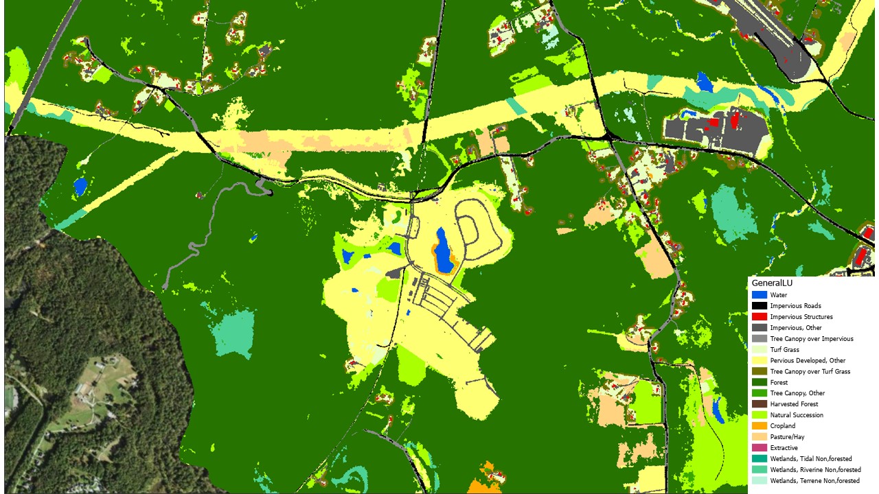
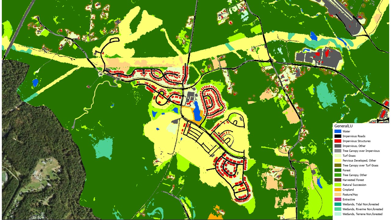
After almost 5½ years of development, EPA’s Chesapeake Bay Program released an update of the Chesapeake Bay High-Resolution Land Use/Land Cover Data Project that is truly a watershed moment. In May, the Chesapeake Bay Program, in collaboration with Chesapeake Conservancy, U.S. Geological Survey and the University of Vermont announced the release of the Very High-Resolution Land Use/Land Cover and Change Data. These data update the 2013-14 High-Resolution Land Use Data Project, provide new land use and land cover data captured in 2017-18 and include a new data product that describes the changes in land use and land cover throughout the Chesapeake Bay watershed from 2013-14 to 2017-18.
In highlighting the importance of the new data, Chesapeake Conservancy President Joel Dunn stated, “For the first time, high-resolution change data is available for the Chesapeake as open data. This allows us to better understand what’s happening on the landscape and to do change detection and trend analysis. The significance of this cannot be overstated. For those of us working to restore the Chesapeake, this is practically the James Webb Space Telescope moment.”
Adam Ortiz, Environmental Protection Agency mid-Atlantic regional administrator, further emphasized the significance: “These new data will help anyone who wants to do their part in protecting every corner of the watershed. There’s tremendous benefit in having data like this that can show the good and bad treatment of land so that we can make better decisions going forward.”